 vesseltracker.com
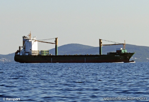
Live AIS position:
6.08929° N, 1.30441° E UTC. Near Ablogamé),
updated 2025-11-21 16:11:41 UTC.
Find the position of the vessel Msc Claudia on the map. The latter are known coordinates and path.
marine traffic ship tracker show on live map
The current position of vessel Msc Claudia is 6.08929 lat / 1.30441 lng. Updated: 2025-11-21 16:11:41 UTCCurrently sailing under the flag of Liberia
Msc Claudia built in 1996 year
Deadweight:
18335 tDetails:
Last coordinates of the vessel:
UTC, 6.08833, 1.30333, course: -1, speed: 0UTC, 6.08934, 1.30440, course: 98, speed: 0
UTC, 6.08905, 1.30445, course: 96, speed: 0
2025-11-21 16:11:41 UTC, 6.08929, 1.30441, course: 102, speed: 0
Track of the vessel in the last 14 days
The ship also appears on the maps: